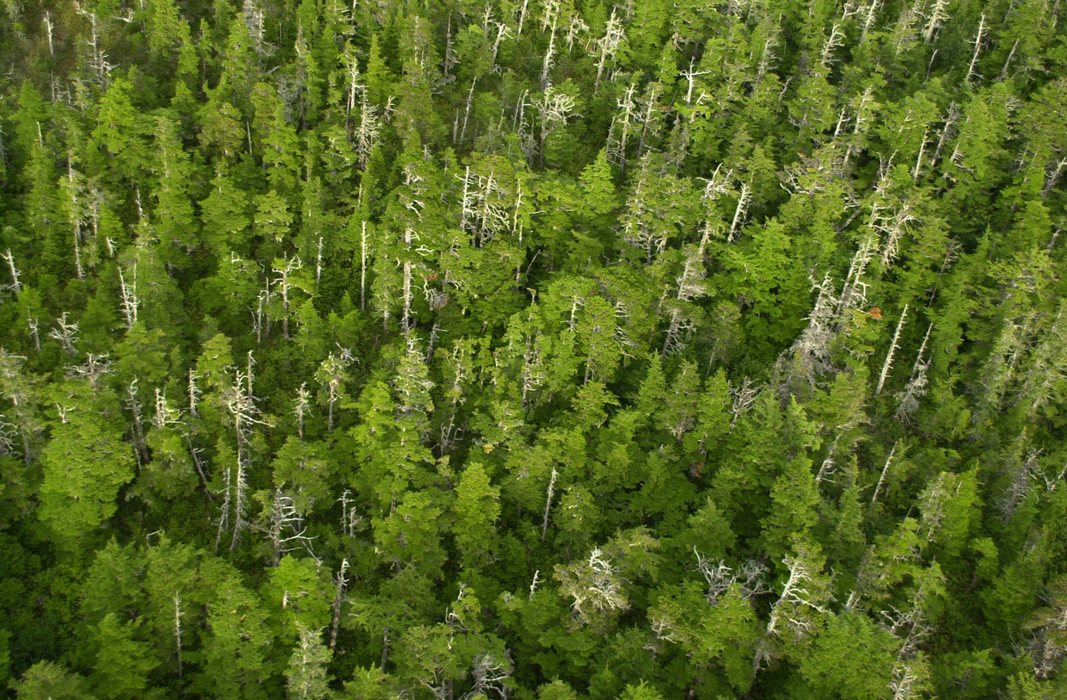
We have created new maps of the world’s forests, based on the most up-to-date, high resolution satellite imagery and a consistent set of criteria. World governments can use these maps to identify which forest areas are most in need of protection and to fast track setting up a global network of protected areas.
Num. pages: 31